The Floor is a Map!
This is a mobile map interface that aims to convey the extent and stories behind the map on the floor in the Walker building on Penn State campus. In making this map, I researched stories of the Susquehanna River and the Juniata River. Alongside the original context of the floor map, I conceptualized a few point of interests in the extent to tell some stories about the river. The interface uses a custom Mapbox basemap with PASDA urban area layer embeded. Doing this project helped me learn online mapping, and helped me understand the constraints of mobile interfaces. Also, this project is made for a class Advanced Cartographic Designs at Penn State, which brought a few rounds of comments and changes. To see the map for yourself, visit dealthy.github.io/floorismap. And to see the source code, visit https://github.com/dealthy/floorismap.
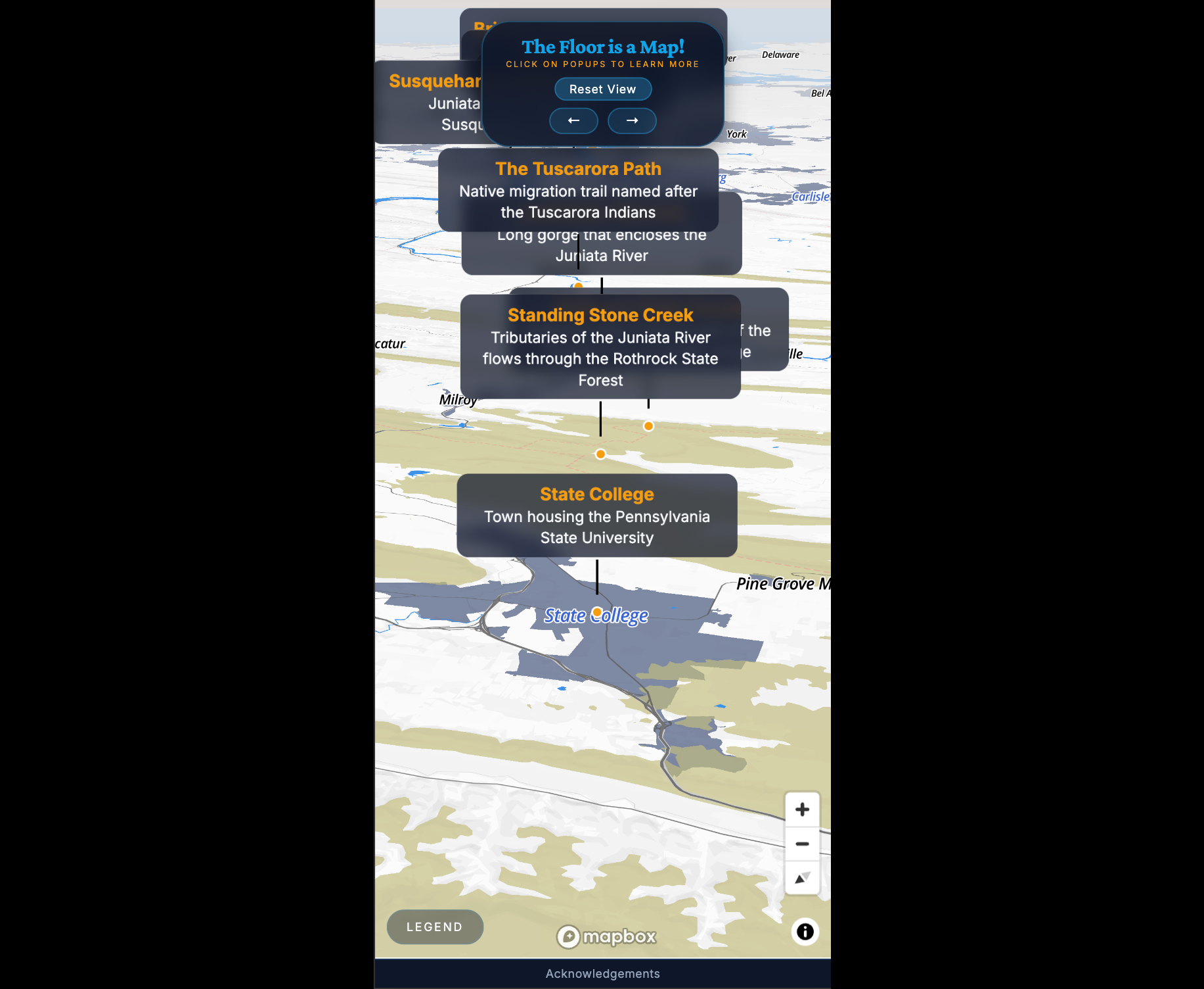
The default view of the mobile mapping interface